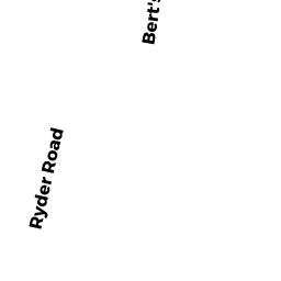
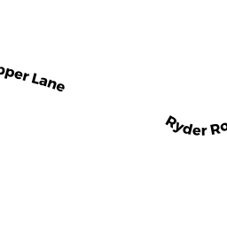
65 RYDER RD
Owner Information
LINDAHL HALEY A &
65 RYDER RD
HARWICH, MA 02645


Property Details
65 RYDER RD is classified as a Single Family Residential (Ranch).
The primary structure on this property was built in 1980. There are 1,739ft2 of built area within this property. There is 1,739ft2 of residential/living space within this property. This property is listed as having 6 rooms.
65 RYDER RD is valued at $381,600. The land is valued at $105,500 and the structures are valued at $265,700. There is an additional valuation of $10,400 on this property.
The most recent deed for 65 RYDER RD is recorded at the local registrar in Book 32451, Page 139. 65 RYDER RD was last sold on Thursday, November 7, 2019 for $345,000.
Assessment data from fiscal year 2020.
Flood Data
According to the FEMA National Flood Hazard Layer, this property does not appear to be in a flood zone. It may also be in an area not yet reviewed. Nonetheless, confirm this information prior to taking any action.
To view the flood hazards around this property, create a FEMA "Firmette" Map of the area around 65 RYDER RD.
Broadband Internet Providers
| Provider | Type | Bandwidth (mbps) | |
|---|---|---|---|
| HughesNet | Satellite | 25 | 3 |
| Comcast | Cable | 1000 | 35 |
| Verizon New England Inc. | DSL | 15 | 1 |
| Viasat Inc | Satellite | 35 | 3 |
| GCI Communication Corp. | Satellite | 0 | 0 |
| VSAT Systems, LLC. | Satellite | 2 | 1 |
| T-Mobile | Fixed Wireless | 25 | 3 |
Broadband service provider data from December 2020.
Adjacent Properties
- 69 RYDER RD
Single Family Residential owned by DEMARCO MEGHAN L - 61 RYDER RD
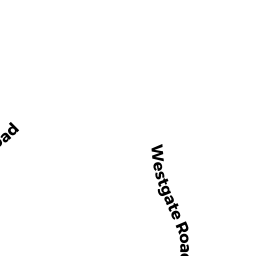
Single Family Residential owned by LAURELL PAUL A - 0 SOUTH WESTGATE RD
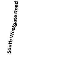
Vacant, Conservation (Municipal or County) owned by HARWICH TOWN OF - CONSERVATION - 214 SOUTH WESTGATE RD
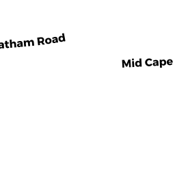
Mixed Use (Primarily Commercial, some Residential) owned by FULL CIRCLE FARM LLC